Tuesday 28 October 2014
Weather Wise: NOAA sees a cooler winter in our future
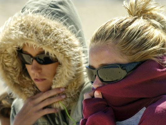
Might Brevard County residents have to dress a little bit warmer this winter?
The answer is yes, at least according a long-range NOAA outlook for winter weather.
And we will not be alone. Much of the Southeast will experience the same.
Still, the National Weather Service hedges a bit, calling for near-normal temperatures in the area from November through April.
Though the temperatures in the NOAA forecast show the Gulf Coast from Texas to the panhandle of Florida to be the furthest below normal, Brevard County is depicted in an area forecast to be cooler than normal.
Conversely, both the western and northeastern U.S. look to be warmer than normal, with the Pacific Coast seeing the greatest temperature increase from normal.
Those jackets might also help protect folks in this area from more than just cool weather.
It will also help protect against some extra rain, according to both forecasts, as the southern United States is expected to be much wetter than normal.
So what's the reason for changes in our weather patterns?
Both the NOAA and NWS Melbourne outlooks cite a weak El Nino pattern. El Nino refers to the cycle of warming waters off the western coast of northern South America.
The repercussions can have dramatic impacts on both the weather thousands of miles away.
As an example, El Nino, which loosely translated means "the Christ child" can lead to increased wind shear across the Atlantic basin which leads to less tropical storm activity.
The phenomenon is also part of of the El Nino Southern Oscillation, along with La Nina, or "the female child" which cools the waters off the Pacific and often leads to stronger Atlantic basin hurricane seasons.
Contact Bonanno at cbonanno@floridatoday.com or follow him on Twitter
Subscribe to:
Post Comments (Atom)

No comments:
Post a Comment